Enhance Your Projects with
High-Res 3D Maps
Visualise and impress with our comprehensive map tiles, unmatched 3D building layer, and seamless integration with various map viewers
Get started DocumentationUnlock the Full Potential
of Digital Mapping
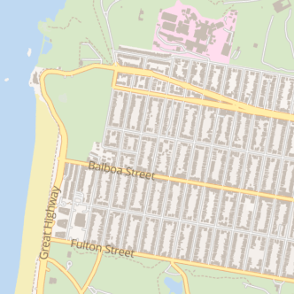
Comprehensive Layers Included
Market-Leading 3D Building Layer
Compatible with Most Map Viewers
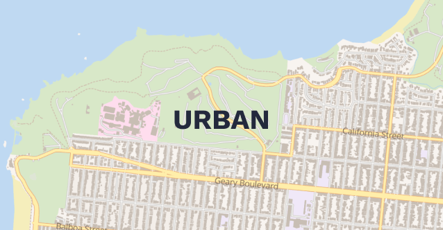
Urban
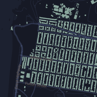
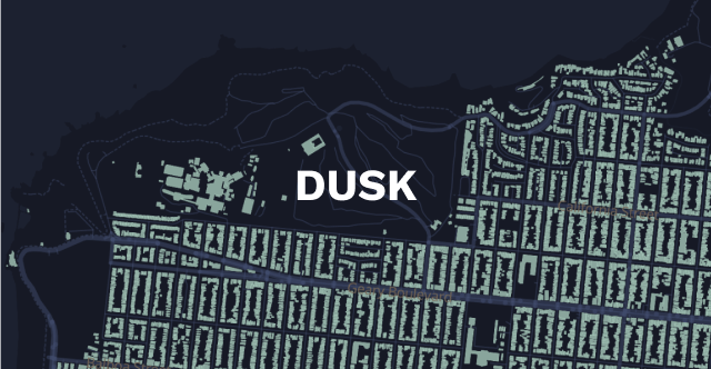
Dusk
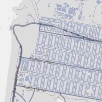
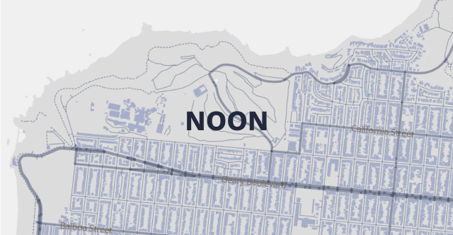
Noon
Our map styles
Choose from these map styles for your integration
What You'll Gain with ONEGEO Map Tiles
See the Bigger Picture - Make Better Decisions
We are now providing all our context layers, including roads, POIs, and landscape features along with the best 3D building layer on the market, enabling you to make better, data-driven decisions.
Create Immersive Maps - Enagage Your Audience
Intuitive and interactive 3D maps help you engage your audience, drive better communication and collaboration, and make a lasting impact by paving the way for informed decision-making.
Viewer-agnostic Maps to Future-Proof Your Business
Our Map Tiles integrate seamlessly with different viewers, so whether you're working on various platforms, collaborating, or adapting to evolving viewer technologies, compatibility concerns are a thing of the past.
You interested?
Let's get started!
Get started
To Visualise Your World
From Urban Planning to Gaming, from Real Estate to Telecommunication, make better decisions and create lasting impressions with accurate 3D building data for analysis and visualisation
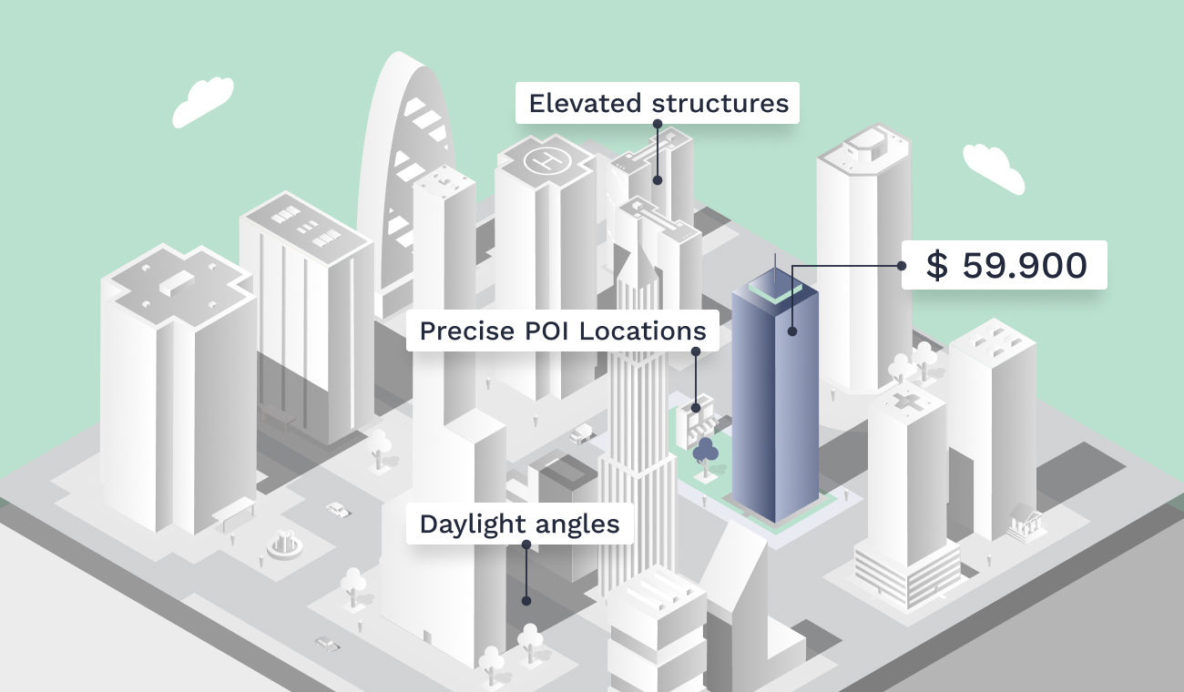
Real Estate
Millennials, now making up 42% of homebuyers, have a unique approach to finding their dream homes. They love diving into independent online research before consulting a professional. Win them over by providing a captivating online experience that includes nearby points of interest, handy tools for measuring distances to work or shops, and insightful details like daylight angles and sunshine hours.
Urban Planning
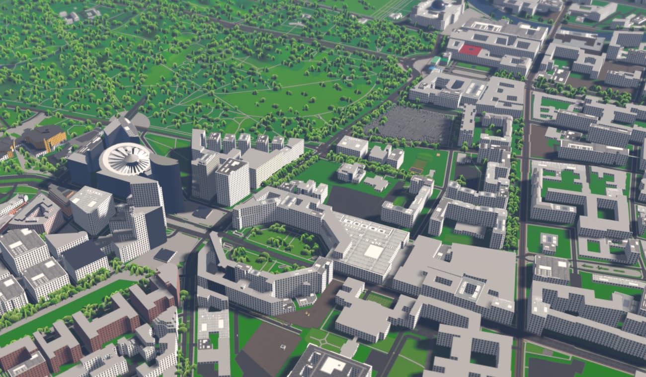
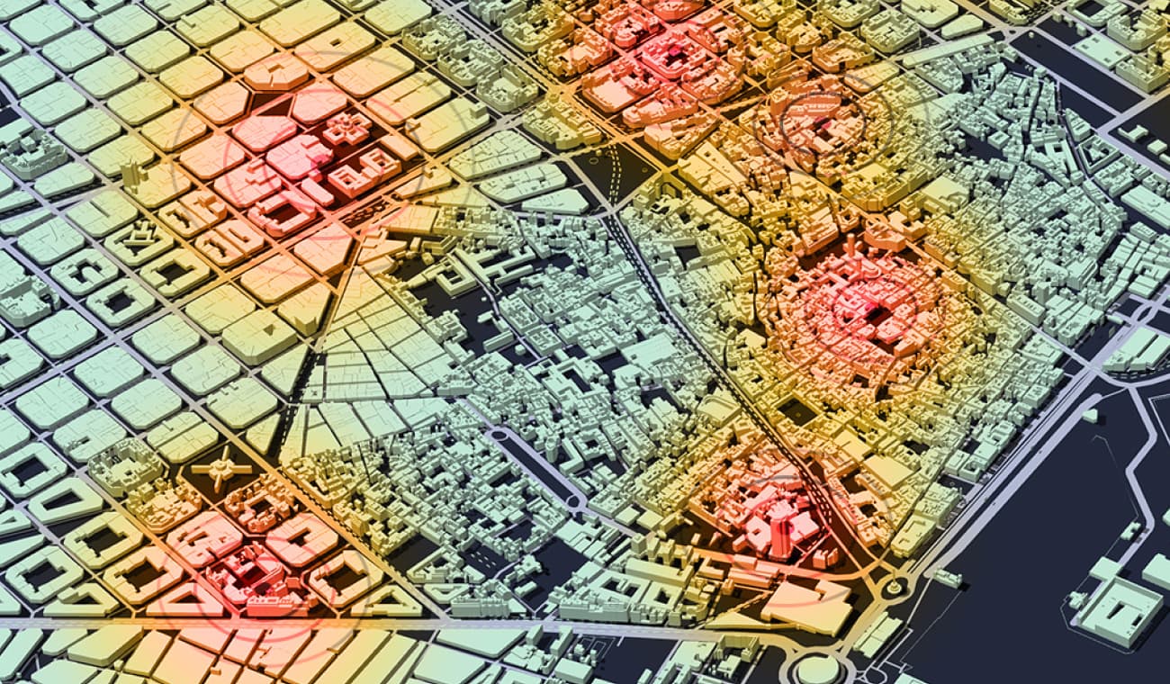
Revolutionize urban development with 3D buildings and urban models that let you dive into virtual city designs, creating smarter, safer, and more sustainable spaces. Grasp the impact of urban interventions, tackle climate change adaptation, plan infrastructure, and monitor urban vegetation health. Make informed decisions to shape a sustainable future for all.
Telecommunication
Pinpoint the perfect spots for antennas to give our urban environments lightning-fast and reliable connections. By understanding how and where buildings impact signal propagation, you're able to develop networks that deliver top-notch performance and revolutionize telecommunication networks.
some of the companies that rely on our data
Our pricing plans
Get exactly what you need to enhance your projects with 3D Maps without the frills that add unnecessary expense.
Community
For non-profit organisations with small user base
- 50 000 Map Tiles
- OpenStreetMap Buildings
- Regular Updates
Business
For growing businesses with moderate access volume
- 500 000 Map Tiles
- all Buildings
- Regular Updates
- Commercial Use
- Standard Support
Enterprise
For large organisations with specific requirements
- Unlimited Map Tiles
- all Buildings
- Regular Updates
- Commercial Use
- Priority Support
- 99.9% Availability
- Annual Invoicing