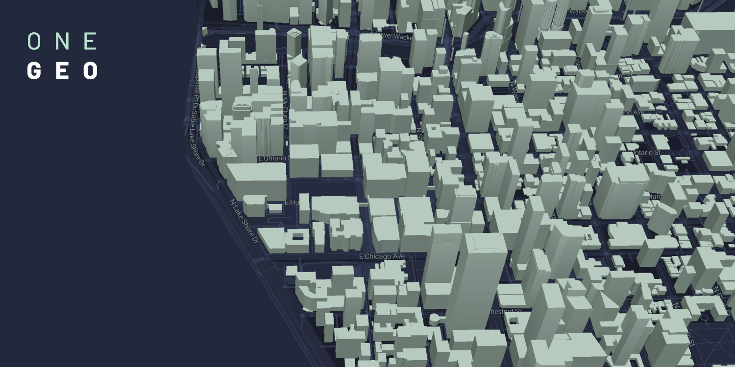
Clean and Comprehensive Worldwide Building Footprints
Your time is too precious to scour the web for the right 3D building footprints. We've already put in the hard yards and found, combined and cleaned the data so you can get straight to work with it.
Get StartedAll
Buildings
Updates
Monthly
40 +
Sources
Approved
For commercial use

Your Benefits at a Glance
Discover worldwide 3D building data approved for commercial use
Easily search and select any sized area for immediate download
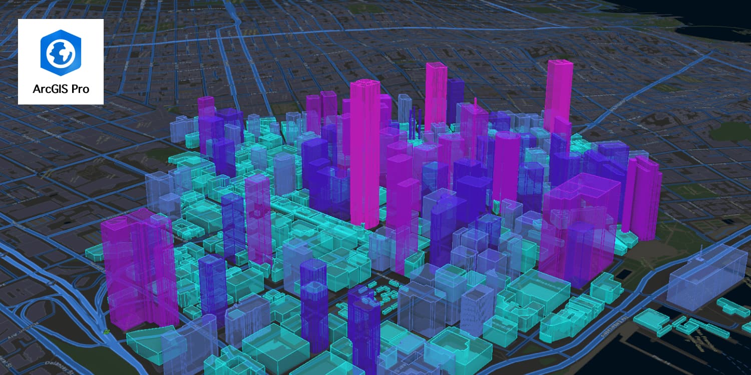
Use our API to access and integrate data into your applications
Benefit from our combination of over 40 data sources and monthly updates
Any issues? Contact us for friendly and knowledgeable customer support
Quality you can trust: all our data is checked and cleaned
Discover worldwide 3D building data approved for commercial use
Easily search and select any sized area for immediate download
Use our API to access and integrate data into your applications
Benefit from our combination of over 40 data sources and monthly updates
Any issues? Contact us for friendly and knowledgeable customer support
Quality you can trust: all our data is checked and cleaned
Get in touch.